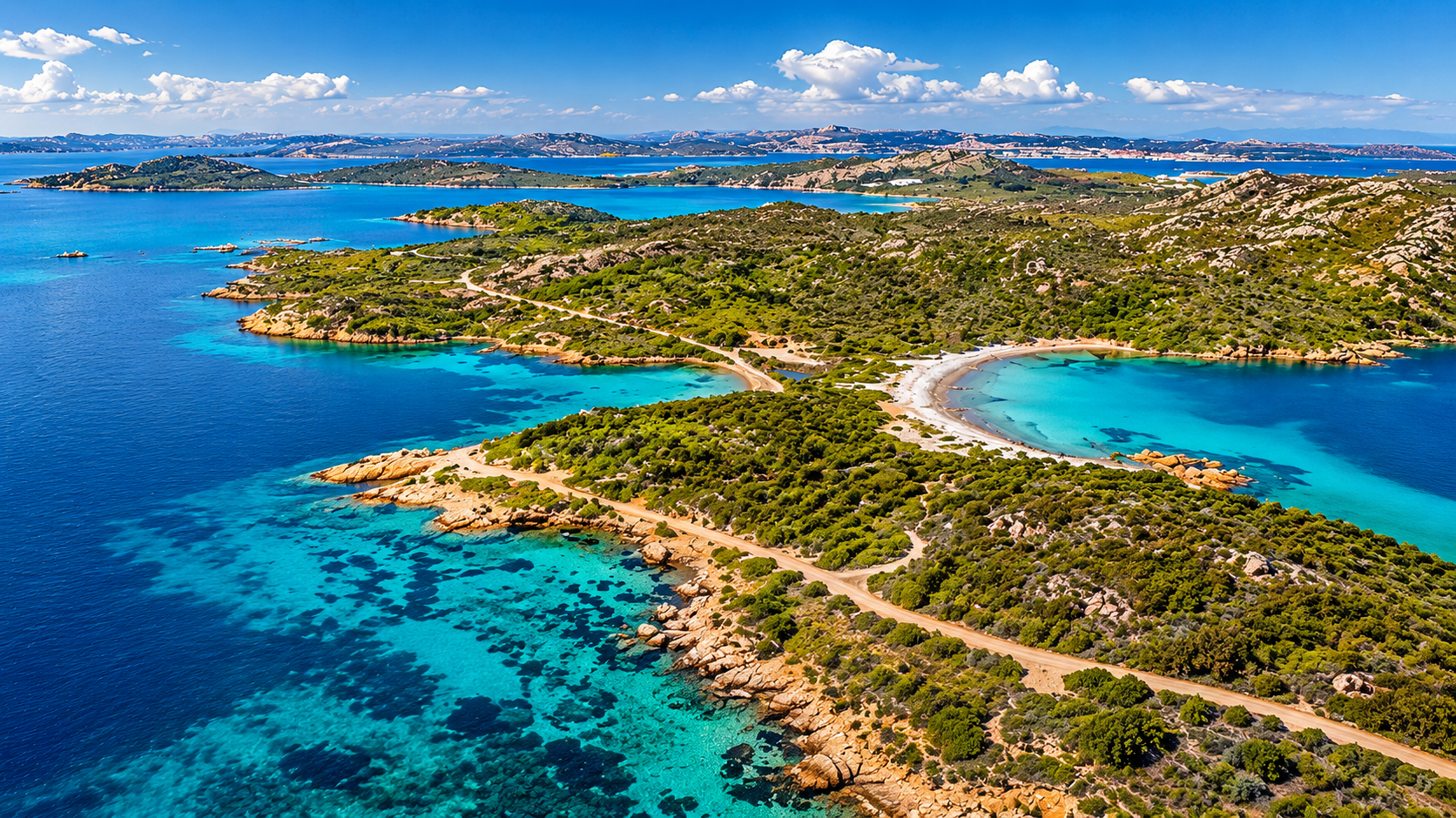
Favignana, Levanzo and Marettimo sit close enough together for easy island-hopping, yet each has a very different cruising character. Favignana has the best-known bays, Levanzo feels compact and understated, while Marettimo is the wildest of the three. All are inside the Egadi Islands Marine Protected Area, where good planning begins with a more precise question than simply: “Can we anchor here?”
The Egadi Islands are not difficult cruising grounds. They reward crews who establish the boat category, protection zone, intended activity and required authorisation before the day becomes busy.
Quick crew briefing
- The MPA is divided into Zones A, B, C and D, each with different rules.
- Navigation, anchoring and mooring are separate activities and may require different authorisations.
- Mooring fields are installed seasonally; a marked field is not a promise that it is operational or has space today.
- BlueDiscovery is useful for maps, applications and payment, but it does not replace the current rules or local instructions.
- Recheck fees, authorisation routes, mooring status and current notices immediately before departure.
Why the Egadi Islands need a different planning approach
The MPA surrounds Favignana, Levanzo, Marettimo, Formica and Maraone. It protects valuable marine habitats, including extensive Posidonia meadows, while remaining a busy summer cruising area for local boats, charter yachts, private crews and excursion traffic.
The rules are therefore designed around zones, boat categories, activities and seasons. For a visiting skipper, the useful question is not whether anchoring is “allowed in the Egadi Islands”. It is whether this particular boat may navigate, anchor or use a mooring in this precise area today.
Zones A, B, C and D in practical terms
| Zone | What it means for a visiting crew |
|---|---|
| A | Integral reserve west of Marettimo and around Maraone. Not a normal navigation, anchoring or mooring area for charter crews. |
| B | General reserve. Rules are particularly restrictive close to shore, with some permissions limited to residents, property owners or specifically authorised small craft. |
| C | Partial reserve. Navigation is generally more open, but anchoring still depends on sensitive seabeds, authorisation and seasonal rules. |
| D | Protection area between the islands. Passage is generally less restricted, while the wider MPA rules still apply. |
Italian boat definitions matter. A natante is up to 10 metres, an imbarcazione da diporto is between 10 and 24 metres, and a nave da diporto is over 24 metres. Many charter yachts are therefore not natanti. A rule written specifically for natanti should never be assumed to cover every yacht.
What to arrange before the charter starts
Begin with the boat’s length overall and legal category. Then compare the intended route and bays with the official zoning and the charts included in the 2026 Disciplinare. Only then is it possible to establish which navigation, anchoring or mooring authorisation is relevant.
The MPA provides forms for resident and non-resident recreational users. It can limit or refuse an application when an activity conflicts with conservation aims or when visitor pressure needs to be controlled. Charter crews should also distinguish between their own practical authorisation and any separate obligations carried by the charter or rental operator.
Keep these available onboard
- boat length and Italian boat category
- official MPA zoning and the 2026 Disciplinare
- relevant anchoring or mooring authorisation
- payment and authorisation evidence, ideally saved offline
- current MPA updates and Trapani Coast Guard notices
- at least one alternative stop for each island
Permits and BlueDiscovery
The MPA lists several authorisation routes. Applications and payments can be handled through its offices, digital platforms and the BlueDiscovery app. BlueDiscovery includes a virtual map and supports procedures for navigation, anchoring, mooring and other regulated activities.
It is best treated as part of a workflow, not as the only source a skipper needs. Check the zone, choose the exact activity, apply and pay, save the evidence, then verify the day’s status before departure. Apps cannot replace current notices, weather, local markings or instructions from MPA staff.
Authorisation may also be arranged at a mooring field through appointed staff, with an additional administration charge. That can be useful, but it does not guarantee a berth or suitable conditions.
Mooring fields shape the day
The MPA identifies seasonal mooring fields around all three main islands. Official information says mooring authorisations are available on daily, weekly and monthly terms. The fields are coordinate-defined and installed seasonally.
A mooring field is a regulated area, not a loose collection of buoys with spare anchoring space between them. One vessel is allowed per mooring. Crews must follow local instructions and should not assume a field remains usable in unsuitable weather.
The practical lesson is to make the mooring decision early. A seasonal field can be an excellent option, but it is not an evening guarantee.
Anchoring always depends on the exact area
“Anchoring is banned in the Egadi Islands” is not an accurate statement. Neither is “we can anchor anywhere outside a buoy field”.
Zone A is not a normal anchoring option for visiting charter crews. Zone B is particularly restrictive within 500 metres of the coast. Zones C and D offer more possibilities, but crews must still check sensitive seabeds, mooring fields, seasonal limits, boat length and the required authorisation.
Where anchoring is permitted under the 2026 rules, it should be outside environmentally valuable seabeds and on suitable inert sand or mud. Adequate swinging room and separation from other vessels also matter.
Between 15 July and 15 September, special pressure-management rules apply in several sensitive areas around Favignana and Levanzo. For some daily and weekly non-resident authorisations, anchoring is restricted in those areas. This is exactly where an old pilot book or a casual online comment becomes unreliable.
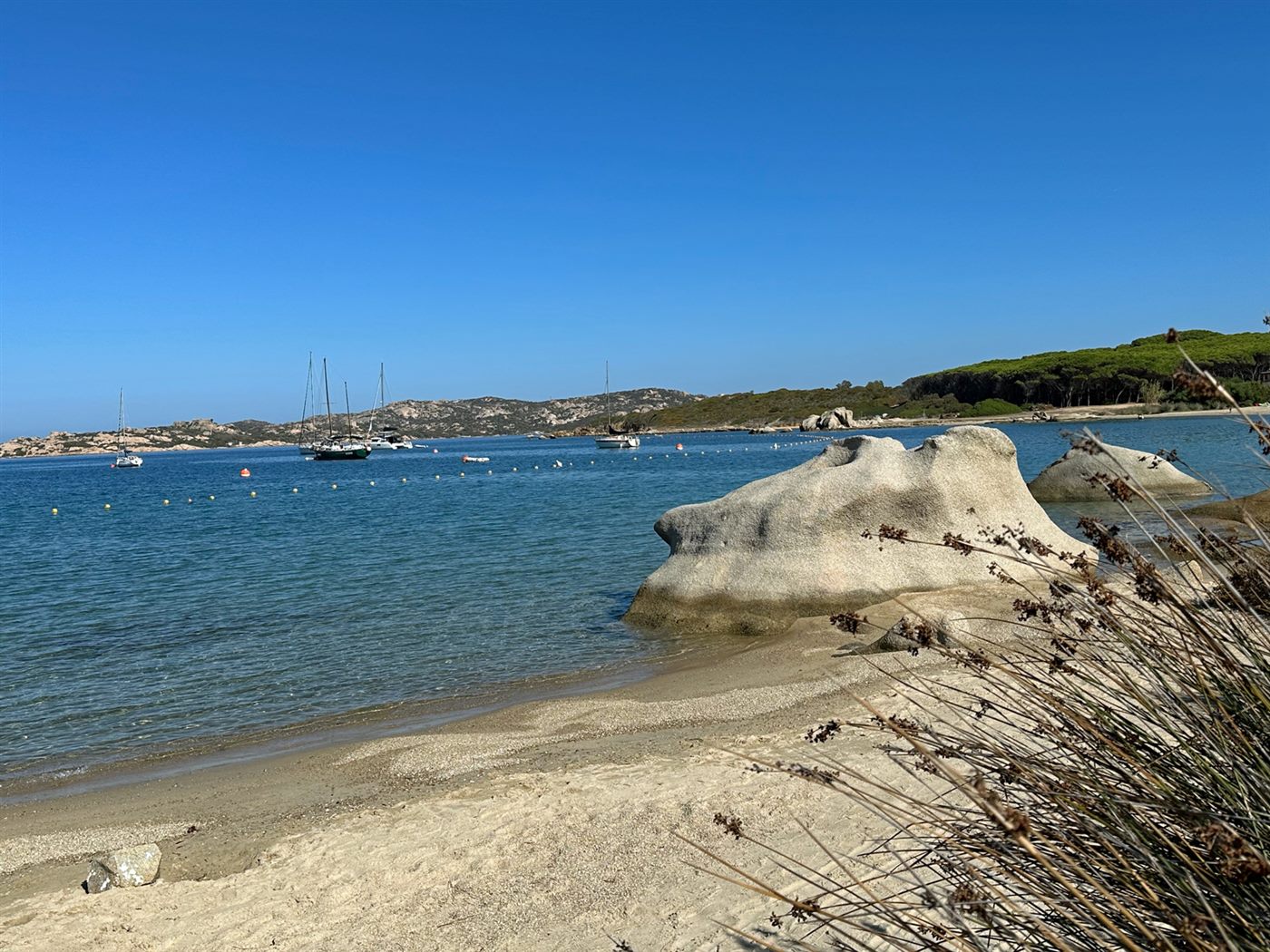
Favignana: many options, heavy summer pressure
Most of Favignana lies in Zone C, with a smaller Zone B area around the Faraglione. Seasonal mooring fields are officially identified around Faraglione Ovest and Est, Cala Rossa, Bue Marino, Cala Azzurra, Marasolo, Scindo Passo and Preveto.
Favignana’s famous bays are a major attraction and a major source of summer pressure. Cala Rossa, Bue Marino, Cala Azzurra, Marasolo, Scindo Passo and Preveto are among the areas where crews must pay close attention to seasonal rules. The Praia and Stabilimento Florio area also has specific restrictions.
This is the island where early decisions matter most. Separate the swim stop from the overnight plan, check the mooring option and do not assume the most photographed bay will still be the best choice late in the day.
Levanzo: distinguish west from east
Levanzo looks simple on the chart, but its protection regime changes around the island. The west side is mainly Zone B; the east side is mainly Zone C.
Seasonal mooring fields are identified at Capo Grosso, Punta Altarella, Cala Minnola, Cala Fredda and Cala Tramontana. Capo Grosso, Cala Tramontana and Cala del Genovese are listed as environmentally valuable or sensitive seabeds. Cala Fredda and Cala Minnola are also affected by the special summer pressure-management rules.
The key Levanzo question is therefore not only where the shelter looks good, but which side of the island, which zone and which current authorisation apply.
Marettimo: the clearest zone boundary
Marettimo is the wildest island and requires the most deliberate zoning check. Zone A lies along its western side. Other stretches fall within Zone B, while the east side is mainly Zone C.
Seasonal mooring fields are identified at Scalo Maestro, Cala Manione, Finocchio Marino and Conca. The 2026 rules also describe a specific daily limit for certain non-resident natanti in Marettimo’s Zone B. A charter yacht over 10 metres does not automatically fit that category.
There is also a defined protection area for the common eagle ray, Myliobatis aquila, where anchoring is prohibited from 1 August to 31 December. Crews should use the official material to identify the exact area.
Comparing the three islands
| Island | Typical crew question | Mooring relevance | Planning note |
|---|---|---|---|
| Favignana | Which famous bay is realistic under summer pressure? | Many seasonal fields | Plan early and check sensitive summer areas |
| Levanzo | Is the stop on the Zone B or Zone C side? | Several fields around both sides | Check the zone boundary and sensitive seabeds |
| Marettimo | Does the route approach Zone A or a special Zone B rule? | Fields around the more usable coasts | Check boat category and seasonal protection carefully |
Verified 2026 fees
Fees depend on activity, duration and boat length. For two common charter-yacht ranges, the 2026 Disciplinare lists:
| Boat length | Anchoring day / week | Mooring field day / week |
|---|---|---|
| 10.01-14.99 m | EUR 20 / EUR 80 | EUR 50 / EUR 200 |
| 15.00-24.00 m | EUR 30 / EUR 120 | EUR 60 / EUR 240 |
The official table contains further length bands and durations. On-site administration may carry an additional charge. Discounts apply only where their conditions are documented and should not be assumed for an ordinary charter crew.
Always verify the current official tariff before departure. An old screenshot is not a reliable cruising document.
Common mistakes
The most common mistake is treating a permit, anchoring authorisation and mooring authorisation as the same thing. They are not. Another is assuming every charter yacht falls within a rule written for natanti.
Past experience also has limits. A place used for anchoring several seasons ago may now sit within a sensitive area, a seasonal mooring field or a different management rule.
The final mistake is leaving the decision too late. If the crew only checks whether a bay is Zone B or C at sunset, it has already lost most of its flexibility.
Practical departure checklist
- Confirm boat length and legal category at charter check-in.
- Save the official zoning and the 2026 Disciplinare.
- Treat navigation, anchoring and mooring as separate activities.
- Keep authorisation and payment evidence available offline.
- Never treat a mooring field as a guaranteed berth.
- Check Favignana and Levanzo’s special summer rules from 15 July.
- Check Zone A and special protection areas around Marettimo.
- Recheck weather, current notices and operational status immediately before departure.
Sources and update status
Checked June 2026. This guide is based on primary sources from the Egadi Islands Marine Protected Area, particularly the 2026 Disciplinare, the MPA regulations and the official pages covering zoning, mooring fields, authorisations and BlueDiscovery.
Rules, fees, mooring installation, availability and authorisation routes may change seasonally or at short notice. This guide supports planning but does not replace official charts, nautical charts, Coast Guard notices or instructions from the MPA and maritime authorities.
Conclusion
The Egadi Islands do not lose their freedom because they are protected. For a prepared crew, the opposite is often true.
Separate the zone, boat category and activity, and the choices around Favignana, Levanzo and Marettimo become much clearer. The best plan is rarely the broadest claim. It is the one built on current sources, an early decision and a good alternative for every beautiful bay.